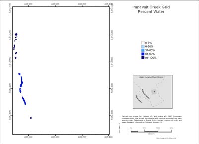
Imnavait Creek Grid Percent Water
- Imnavait Grid
- Vegetation
- Elevation
- Landforms
- Releve Locations
- Glacial Geology
- Percent Water
- Surficial Geology
- Surficial Geomorphology

| Available data: | ||||
| |
GE |
Metadata |
GIS data |
GIS data |
(from metadata) The amount of water (lakes, ponds, streams, wetlands), strongly affects the reflectance of the land surface over large areas of Alaska. The percent water was based on the number of AVHRR water pixels in each polygon divided by the number of pixels in each polygon.
The classes of water coverage in a polygon were reported as follows:
- 0-5%
- 6-30%
- 31-60%
- 61-90%
- 91-100%


