Component Projects
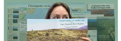
The Arctic Geobotanical Atlas is composed of maps, GIS products, and supporting information primarily from several mapping projects:
- Circumpolar Arctic Vegetation Map (CAVM)
The CAVM covers the global region north of the Arctic treeline. It contains maps and descriptions of the vegetation, bioclimate subzones, floristic provinces, topography, landscapes, lake cover, substrate pH, and plant biomass. Ths section also contains an area analysis of the map by bioclimate subzones and countries.
(CAVM Team 2003, Walker et al. 2005) - Alaska Arctic Tundra Vegetation Map (AATVM)
The AATVM is a plant community-level map of Arctic Alaska derived from the CAVM. It portrays the variation in plant communities across all of Arctic Alaska, in contrast to the physiognomic-level mapping of the CAVM.
(Raynolds et al. 2006) - Toolik Lake/Kuparuk River Basin Hierarchic Geobotanical Atlas (TLKGA)
This is series of geobotanical maps was constructed during and following the Department of Energy's R4D studies at Imnavait Creek (Reynolds and Tenhunen 1996). It includes maps of the Imnavait Creek (Walker and Walker 1996) and Toolik Lake (Walker, et.al. 2006, in prep.) study sites at five scales ranging from 1x1 -m plots where individual species are mapped, to maps of the entire Kuparuk River Basin (approximately 9200 km2). - Prudhoe Bay Geobotanical Atlas (PBGA)
This project utilized the geobotanical mapping methods used prior to the advent of GIS technology (Walker et al. 1980). The original atlas consisted of four map areas mapped at 1:6,000-scale, including vegetation, soils, and landforms, and covered a large portion of the Prudhoe Bay Oil Field east of the Kuparuk River. A later project adapted the older geobotanical mapping methods to a GIS-based analysis of the cumulative impacts of oil development (Walker et al. 1986, 1987). - ARCSS/LAII Flux and ATLAS Studies
Several maps were constructed as part of the NSF-funded Flux (Kane and Reeburgh 1998) and Arctic Transitions in the Land-Atmosphere System (ATLAS) projects (McGuire et al. 2003). These maps were made to help in the extrapolation of energy, trace-gas, and water fluxes from plot-scale measurements to much broader regions. Most of these maps were within the Kuparuk River basin and were mentioned as part of the Toolik Atlas (e.g., Reeburgh et al. 1998; Shippert et al. 1995; Muller et al. 1998, Muller et al. 1999). The ATLAS study focused at sites scattered across northern Alaska and Seward Peninsula (Ivotuk, Atkasuk, Barrow, Council, and Quartz Creek). Research grids (100x100-m) were established in areas of zonal and common vegetation types at all of these sites. The original intent was to map all of these grids, but only those at Ivotuk were finished (Reidel et al. 2005). The Ivotuk maps will be included as time permits. - Biocomplexity of Patterned-Ground Ecosystems
The Biocomplexity project studies the complex linkages between frost heave, soil biogeochemical processes, and vegetation patterns in small patterned-ground ecosystems along an arctic bioclimate gradient from treeline to the coldest portions of the Arctic (Walker et al. 2004). Several maps of 10 x 10-m grids include vegetation, active-layer depth, and snow depth.
During the first year of construction, the website will focus on the first two projects associated with CAVM. In years two and three, the focus will shift to the hierarchy of data sets associated with Toolik Lake, Imnavait Creek, and the upper Kuparuk River basin. If future funding permits, we will include the Flux/ATLAS, Biocomplexity, and Prudhoe Bay data sets at a later time.


